Flying sheep?
Introduction
The photograph on this page of Flying sheep? by Graham Horn as part of the Geograph project.
The Geograph project started in 2005 with the aim of publishing, organising and preserving representative images for every square kilometre of Great Britain, Ireland and the Isle of Man.

There are currently over 7.5m images from over 14,400 individuals and you can help contribute to the project by visiting https://www.geograph.org.uk
Flying sheep?
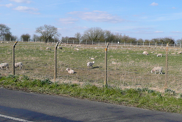
Image: © Graham Horn Taken: 6 Apr 2013
This long thin field, enclosed by the main road through Chalgrove and its bypass, is itself surrounded by a concrete post and wire fence. This is identical to the adjacent one surrounding Chalgrove airfield, suggesting that the field is owned by the military. However, whilst the main airfield is leased to a company that makes ejector seats this field is used for sheep grazing. Shakespeare's Way passes.
Images are licensed for reuse under creativecommons.org/licenses/by-sa/2.0
Image Location
Latitude
51.67095
Longitude
-1.09039