Farmland near Gallowhill
Introduction
The photograph on this page of Farmland near Gallowhill by William Starkey as part of the Geograph project.
The Geograph project started in 2005 with the aim of publishing, organising and preserving representative images for every square kilometre of Great Britain, Ireland and the Isle of Man.

There are currently over 7.5m images from over 14,400 individuals and you can help contribute to the project by visiting https://www.geograph.org.uk
Farmland near Gallowhill
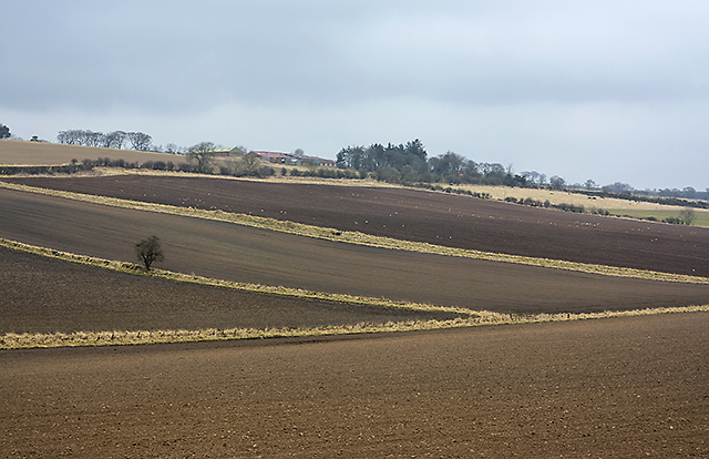
Image: © William Starkey Taken: 10 Apr 2013
Farmland near Gallowhill - with the recent snowfall now melted, ploughing is underway in many local fields.
Images are licensed for reuse under creativecommons.org/licenses/by-sa/2.0
Image Location
Latitude
56.222565
Longitude
-3.050785