The Portaferry Road, Newtownards (2013-2)
Introduction
The photograph on this page of The Portaferry Road, Newtownards (2013-2) by Albert Bridge as part of the Geograph project.
The Geograph project started in 2005 with the aim of publishing, organising and preserving representative images for every square kilometre of Great Britain, Ireland and the Isle of Man.

There are currently over 7.5m images from over 14,400 individuals and you can help contribute to the project by visiting https://www.geograph.org.uk
The Portaferry Road, Newtownards (2013-2)
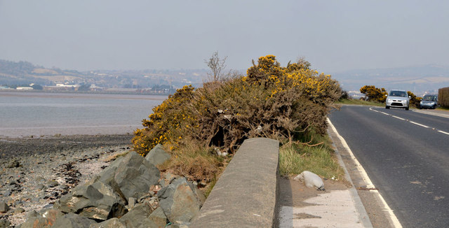
Image: © Albert Bridge Taken: 10 Apr 2013
A twisting section of the Portaferry Road, south of The Maltings Image, as it runs very close to the shore of Strangford Lough (left). This view is towards Newtownards.
Images are licensed for reuse under creativecommons.org/licenses/by-sa/2.0
Image Location
Latitude
54.574917
Longitude
-5.666731