Demolition, Bangor
Introduction
The photograph on this page of Demolition, Bangor by Rossographer as part of the Geograph project.
The Geograph project started in 2005 with the aim of publishing, organising and preserving representative images for every square kilometre of Great Britain, Ireland and the Isle of Man.

There are currently over 7.5m images from over 14,400 individuals and you can help contribute to the project by visiting https://www.geograph.org.uk
Demolition, Bangor
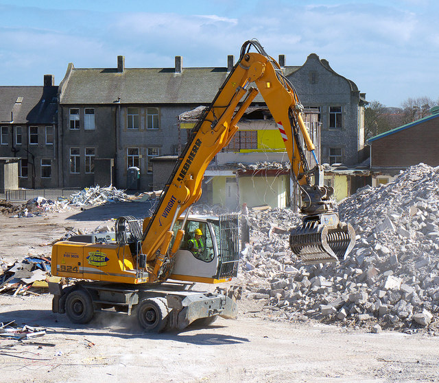
Image: © Rossographer Taken: 5 Apr 2013
Demolition of the former school. This is one of only 5 large mechanical machines I could see being used on the site.
Images are licensed for reuse under creativecommons.org/licenses/by-sa/2.0
Image Location
Latitude
54.664832
Longitude
-5.660492