Interflow Soils Part Deux
Introduction
The photograph on this page of Interflow Soils Part Deux by MDS as part of the Geograph project.
The Geograph project started in 2005 with the aim of publishing, organising and preserving representative images for every square kilometre of Great Britain, Ireland and the Isle of Man.

There are currently over 7.5m images from over 14,400 individuals and you can help contribute to the project by visiting https://www.geograph.org.uk
Interflow Soils Part Deux
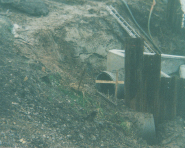
Image: © MDS Taken: Unknown
This is a 2003 October photograph of the works Rhyne and storm drain. A small shear is behind the pipe, the large shear was north west of this.
Images are licensed for reuse under creativecommons.org/licenses/by-sa/2.0
Image Location
Latitude
51.485699
Longitude
-2.760939