Colehill Five Ways
Introduction
The photograph on this page of Colehill Five Ways by Nigel Mykura as part of the Geograph project.
The Geograph project started in 2005 with the aim of publishing, organising and preserving representative images for every square kilometre of Great Britain, Ireland and the Isle of Man.

There are currently over 7.5m images from over 14,400 individuals and you can help contribute to the project by visiting https://www.geograph.org.uk
Colehill Five Ways
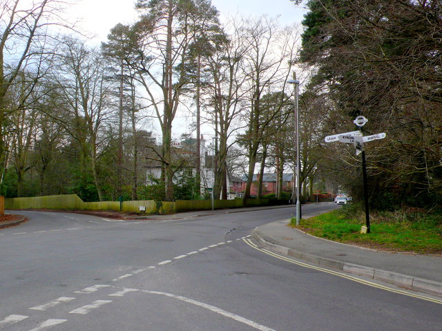
Image: © Nigel Mykura Taken: 28 Mar 2013
The old fashioned signpost at this junction includes the directions and the name of the junction and its grid reference to six figures. Dropped kerbs have been introduced to enable crossing of the main road (Wimborne to Colehill) but not to enable crossing of the minor roads.
Images are licensed for reuse under creativecommons.org/licenses/by-sa/2.0
Image Location
Latitude
50.808099
Longitude
-1.967306