Footpath off Long lane
Introduction
The photograph on this page of Footpath off Long lane by Nigel Mykura as part of the Geograph project.
The Geograph project started in 2005 with the aim of publishing, organising and preserving representative images for every square kilometre of Great Britain, Ireland and the Isle of Man.

There are currently over 7.5m images from over 14,400 individuals and you can help contribute to the project by visiting https://www.geograph.org.uk
Footpath off Long lane
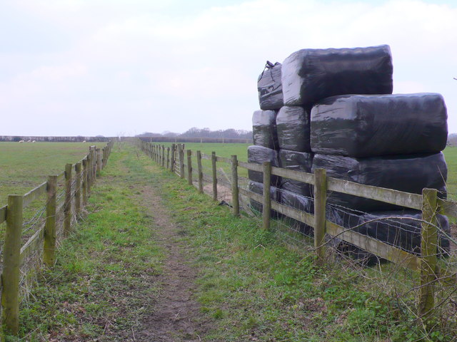
Image: © Nigel Mykura Taken: 28 Mar 2013
This path leads to Chalky Close Copse and then on to Martin's Close Copse and Blessing Lane. The farmer has bounded the path on both side with post and rail fences. One field has a small stack of large wrapped hay bales ready for use.
Images are licensed for reuse under creativecommons.org/licenses/by-sa/2.0
Image Location


Leaflet Map data © OpenStreetMap
Latitude
50.820327
Longitude
-1.960767