The Moat Brook
Introduction
The photograph on this page of The Moat Brook by Richard Law as part of the Geograph project.
The Geograph project started in 2005 with the aim of publishing, organising and preserving representative images for every square kilometre of Great Britain, Ireland and the Isle of Man.

There are currently over 7.5m images from over 14,400 individuals and you can help contribute to the project by visiting https://www.geograph.org.uk
The Moat Brook
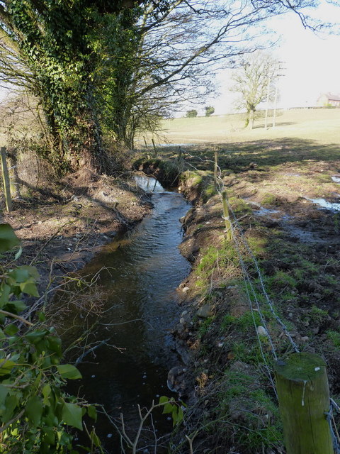
Image: © Richard Law Taken: 6 Apr 2013
Starting life as a drain from Chillington Pool, the Moat Brook passes through the Pendeford Mill Nature Reserve in Image and then joins the River Penk.
Images are licensed for reuse under creativecommons.org/licenses/by-sa/2.0
Image Location
Latitude
52.639978
Longitude
-2.192216