Upper Hattons Farm
Introduction
The photograph on this page of Upper Hattons Farm by Richard Law as part of the Geograph project.
The Geograph project started in 2005 with the aim of publishing, organising and preserving representative images for every square kilometre of Great Britain, Ireland and the Isle of Man.

There are currently over 7.5m images from over 14,400 individuals and you can help contribute to the project by visiting https://www.geograph.org.uk
Upper Hattons Farm
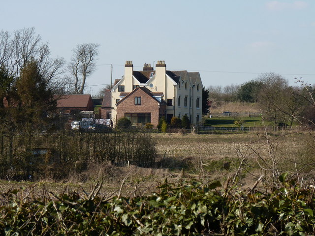
Image: © Richard Law Taken: 6 Apr 2013
A large extension has been built on this side of the farmhouse in the last few years Image]
Images are licensed for reuse under creativecommons.org/licenses/by-sa/2.0
Image Location
Latitude
52.639206
Longitude
-2.167386