Entering Hutton Conyers
Introduction
The photograph on this page of Entering Hutton Conyers by Chris Heaton as part of the Geograph project.
The Geograph project started in 2005 with the aim of publishing, organising and preserving representative images for every square kilometre of Great Britain, Ireland and the Isle of Man.

There are currently over 7.5m images from over 14,400 individuals and you can help contribute to the project by visiting https://www.geograph.org.uk
Entering Hutton Conyers
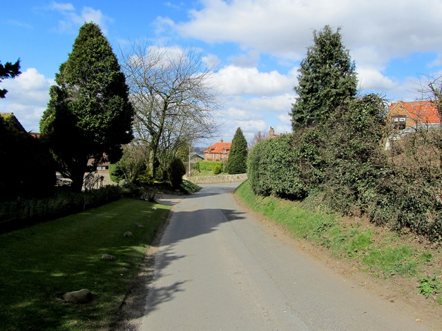
Image: © Chris Heaton Taken: 5 Apr 2013
Reaching the village on Smith Lane from the A61.
Images are licensed for reuse under creativecommons.org/licenses/by-sa/2.0
Image Location
Latitude
54.154933
Longitude
-1.501248