Cadet hut, Ilminster
Introduction
The photograph on this page of Cadet hut, Ilminster by nick macneill as part of the Geograph project.
The Geograph project started in 2005 with the aim of publishing, organising and preserving representative images for every square kilometre of Great Britain, Ireland and the Isle of Man.

There are currently over 7.5m images from over 14,400 individuals and you can help contribute to the project by visiting https://www.geograph.org.uk
Cadet hut, Ilminster
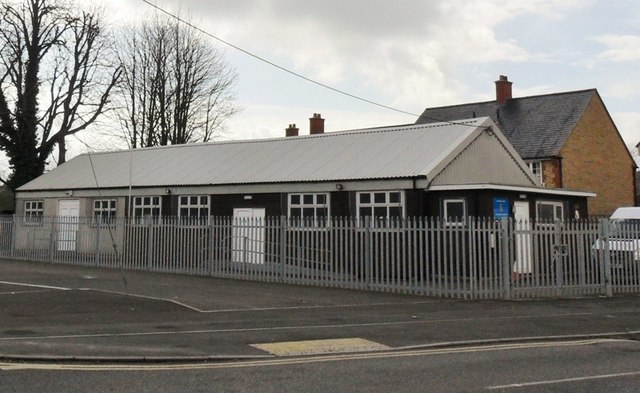
Image: © nick macneill Taken: 9 Mar 2013
The hut looks like a traditional 'tin hut', but if it is, it is in very good condition.
Images are licensed for reuse under creativecommons.org/licenses/by-sa/2.0
Image Location
Latitude
50.925063
Longitude
-2.908832