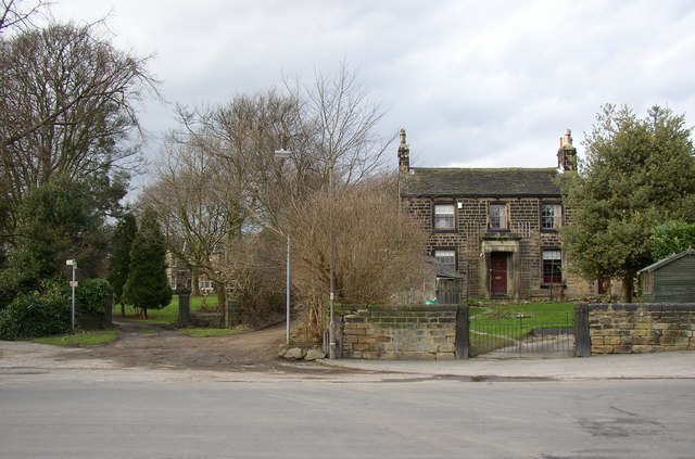
At the top of Lands Lane, Guiseley
Introduction
The photograph on this page of At the top of Lands Lane, Guiseley by Humphrey Bolton as part of the Geograph project.
The Geograph project started in 2005 with the aim of publishing, organising and preserving representative images for every square kilometre of Great Britain, Ireland and the Isle of Man.
There are currently over 7.5m images from over 14,400 individuals and you can help contribute to the project by visiting https://www.geograph.org.uk

Image: © Humphrey Bolton Taken: 15 Feb 2007
On the left, a public footpath, with two unusual signs stating “Legitimate access to Crooklands”; this is an old house up the path . Then the entrance to the grounds of a big pair of semi-detached houses called Claremont. Then Kelcliffe Lane, and on the right Flatfield House. These were all out in the countryside when built, but the suburbs have crept up to and around them.

