Benchmark on #192 Mansfield Road (Villa Road face)
Introduction
The photograph on this page of Benchmark on #192 Mansfield Road (Villa Road face) by Roger Templeman as part of the Geograph project.
The Geograph project started in 2005 with the aim of publishing, organising and preserving representative images for every square kilometre of Great Britain, Ireland and the Isle of Man.

There are currently over 7.5m images from over 14,400 individuals and you can help contribute to the project by visiting https://www.geograph.org.uk
Benchmark on #192 Mansfield Road (Villa Road face)
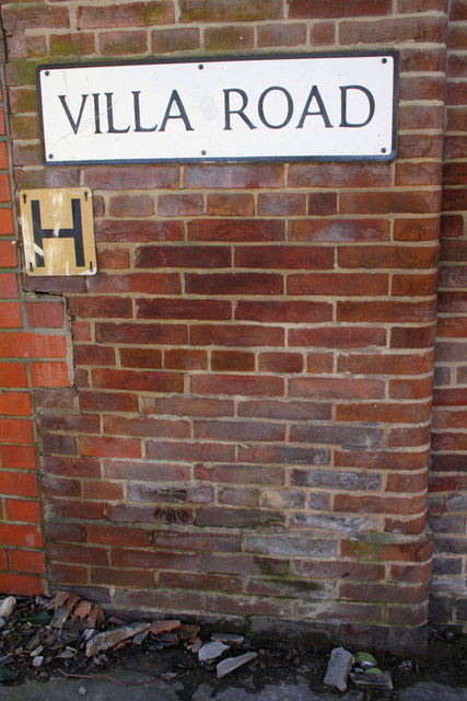
Image: © Roger Templeman Taken: 31 Mar 2013
The Ordnance Survey cut mark benchmark, which is on the 6th and 7th brick courses above ground below the A of Villa, is described on the Bench Mark Database at http://www.bench-marks.org.uk/bm47854
Images are licensed for reuse under creativecommons.org/licenses/by-sa/2.0
Image Location
Latitude
52.963879
Longitude
-1.152081