Council Housing - The Meadows
Introduction
The photograph on this page of Council Housing - The Meadows by John M as part of the Geograph project.
The Geograph project started in 2005 with the aim of publishing, organising and preserving representative images for every square kilometre of Great Britain, Ireland and the Isle of Man.

There are currently over 7.5m images from over 14,400 individuals and you can help contribute to the project by visiting https://www.geograph.org.uk
Council Housing - The Meadows
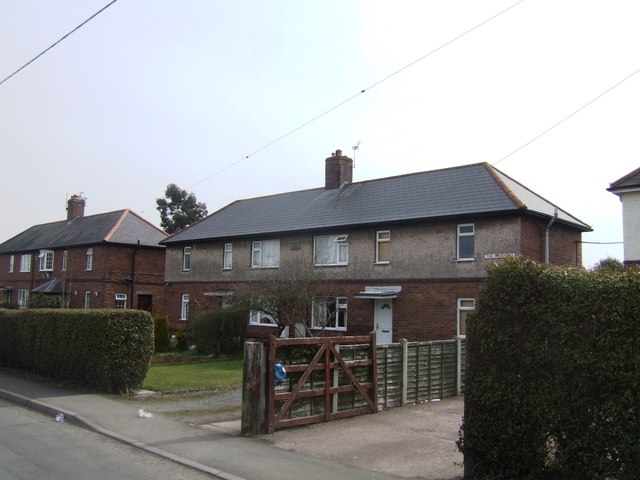
Image: © John M Taken: 7 Apr 2013
Built in 1929 by Wellington Rural District Council near Lawley.
Images are licensed for reuse under creativecommons.org/licenses/by-sa/2.0
Image Location
Latitude
52.674361
Longitude
-2.489782