Wishing Well: detail
Introduction
The photograph on this page of Wishing Well: detail by Lairich Rig as part of the Geograph project.
The Geograph project started in 2005 with the aim of publishing, organising and preserving representative images for every square kilometre of Great Britain, Ireland and the Isle of Man.

There are currently over 7.5m images from over 14,400 individuals and you can help contribute to the project by visiting https://www.geograph.org.uk
Wishing Well: detail
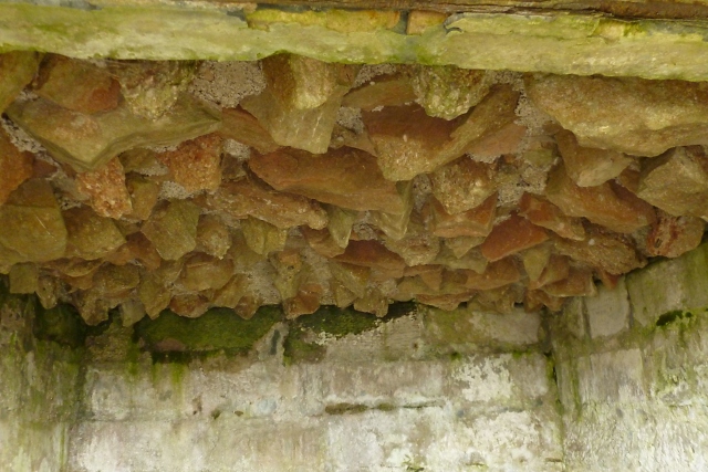
Image: © Lairich Rig Taken: 27 Mar 2013
See Image for the whole structure, and Image for the setting. The present photograph shows the upper part of the interior; the jagged stones were intended to give the well a grotto-like appearance. It seems also to have been known as the Hermit's Well.
Images are licensed for reuse under creativecommons.org/licenses/by-sa/2.0
Image Location
Latitude
56.007544
Longitude
-4.72818