Hermitage Park: the Wishing Well
Introduction
The photograph on this page of Hermitage Park: the Wishing Well by Lairich Rig as part of the Geograph project.
The Geograph project started in 2005 with the aim of publishing, organising and preserving representative images for every square kilometre of Great Britain, Ireland and the Isle of Man.

There are currently over 7.5m images from over 14,400 individuals and you can help contribute to the project by visiting https://www.geograph.org.uk
Hermitage Park: the Wishing Well
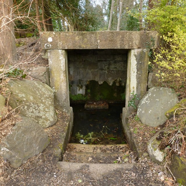
Image: © Lairich Rig Taken: 27 Mar 2013
Or the Hermit's Well. See Image and Image for context. See Image for the upper part of the interior, which is not visible from this angle. Information panels present in the park by 2021 call this the Hermit's Well. According to http://www.helensburgh-heritage.co.uk/index.php/heritage/places/1134-the-history-of-hermitage-park (at the Helensburgh Heritage site), the well and its grotto were formed in 1914. See that link for a detailed discussion, which includes comments on the origins of the name Hermitage Park (which displaced the earlier name Cramb Park).
Images are licensed for reuse under creativecommons.org/licenses/by-sa/2.0
Image Location
Latitude
56.007544
Longitude
-4.72818