Victoria Integrated Care Centre
Introduction
The photograph on this page of Victoria Integrated Care Centre by Lairich Rig as part of the Geograph project.
The Geograph project started in 2005 with the aim of publishing, organising and preserving representative images for every square kilometre of Great Britain, Ireland and the Isle of Man.

There are currently over 7.5m images from over 14,400 individuals and you can help contribute to the project by visiting https://www.geograph.org.uk
Victoria Integrated Care Centre
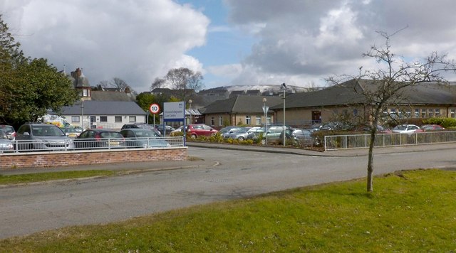
Image: © Lairich Rig Taken: 27 Mar 2013
The centre, which is located on Image, used to be called the Victoria Infirmary.
Images are licensed for reuse under creativecommons.org/licenses/by-sa/2.0
Image Location
Latitude
56.002518
Longitude
-4.715635