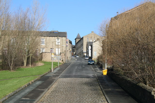
Looking up Exchange Street, Colne, Lancashire
Introduction
The photograph on this page of Looking up Exchange Street, Colne, Lancashire by Dr Neil Clifton as part of the Geograph project.
The Geograph project started in 2005 with the aim of publishing, organising and preserving representative images for every square kilometre of Great Britain, Ireland and the Isle of Man.
There are currently over 7.5m images from over 14,400 individuals and you can help contribute to the project by visiting https://www.geograph.org.uk

Image: © Dr Neil Clifton Taken: 14 Feb 2007
Exchange Street is a steep street that connects Colne's Waterside district, now largely demolished, with the Town Centre. Here the building on the right is the now-disused Zion Baptist chapel. The houses leading off to the left bear a plate reading 'Patten Street': The houses on Patten Street have their backs on Doughty Street, and vice-versa. The tower visible in the distance belongs to the Wesleyan Methodist Sunday School. Colne was once a proud Municipal Borough, but all that changed in 1974 when it was absorbed into the Borough of Pendle - a mish-mash of authorities from both Lancashire and the West Riding of Yorkshire, largely administered from Nelson. I am indebted to James Hartley for this information.

