Path through Grays Gorge
Introduction
The photograph on this page of Path through Grays Gorge by Roger Jones as part of the Geograph project.
The Geograph project started in 2005 with the aim of publishing, organising and preserving representative images for every square kilometre of Great Britain, Ireland and the Isle of Man.

There are currently over 7.5m images from over 14,400 individuals and you can help contribute to the project by visiting https://www.geograph.org.uk
Path through Grays Gorge
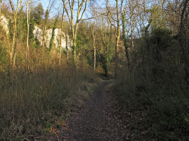
Image: © Roger Jones Taken: 6 Apr 2013
Grays Gorge is an SSSI and part of Chafford Gorges Nature Park. Note the chalk cliffs in the background.
Images are licensed for reuse under creativecommons.org/licenses/by-sa/2.0
Image Location
Latitude
51.484673
Longitude
0.318659