Track leading to Higher Turnshaw Farm
Introduction
The photograph on this page of Track leading to Higher Turnshaw Farm by Chris Heaton as part of the Geograph project.
The Geograph project started in 2005 with the aim of publishing, organising and preserving representative images for every square kilometre of Great Britain, Ireland and the Isle of Man.

There are currently over 7.5m images from over 14,400 individuals and you can help contribute to the project by visiting https://www.geograph.org.uk
Track leading to Higher Turnshaw Farm
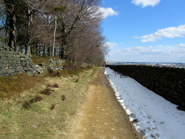
Image: © Chris Heaton Taken: 4 Apr 2013
Part of the track leading from Hare Hill.
Images are licensed for reuse under creativecommons.org/licenses/by-sa/2.0
Image Location


Leaflet Map data © OpenStreetMap
Latitude
53.843553
Longitude
-1.979598