Upper Cwmbran Methodist Church
Introduction
The photograph on this page of Upper Cwmbran Methodist Church by Jaggery as part of the Geograph project.
The Geograph project started in 2005 with the aim of publishing, organising and preserving representative images for every square kilometre of Great Britain, Ireland and the Isle of Man.

There are currently over 7.5m images from over 14,400 individuals and you can help contribute to the project by visiting https://www.geograph.org.uk
Upper Cwmbran Methodist Church
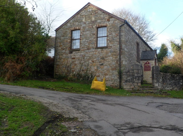
Image: © Jaggery Taken: 7 Jan 2012
A faded tablet above the windows shows EBENEZER PRIMITIVE METHODIST CHAPEL REBUILT 1865.
Images are licensed for reuse under creativecommons.org/licenses/by-sa/2.0
Image Location
Latitude
51.66515
Longitude
-3.054278