Esh Glebe House
Introduction
The photograph on this page of Esh Glebe House by Robert Graham as part of the Geograph project.
The Geograph project started in 2005 with the aim of publishing, organising and preserving representative images for every square kilometre of Great Britain, Ireland and the Isle of Man.

There are currently over 7.5m images from over 14,400 individuals and you can help contribute to the project by visiting https://www.geograph.org.uk
Esh Glebe House
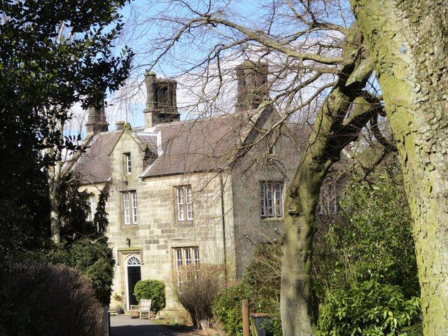
Image: © Robert Graham Taken: 3 Apr 2013
This grand house at the west end of the village was formerly the vicarage. It dates from 1852.
Images are licensed for reuse under creativecommons.org/licenses/by-sa/2.0
Image Location


Leaflet Map data © OpenStreetMap
Latitude
54.791064
Longitude
-1.700912