Road junction at Ludwell
Introduction
The photograph on this page of Road junction at Ludwell by Stephen Craven as part of the Geograph project.
The Geograph project started in 2005 with the aim of publishing, organising and preserving representative images for every square kilometre of Great Britain, Ireland and the Isle of Man.

There are currently over 7.5m images from over 14,400 individuals and you can help contribute to the project by visiting https://www.geograph.org.uk
Road junction at Ludwell
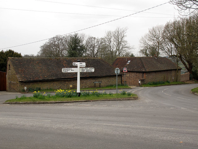
Image: © Stephen Craven Taken: 1 Apr 2013
A four-way junction. Foreground: Station Road towards Horsted Keynes village. Right: Waterbury Hill towards East Grinstead. left: Sugar Lane towards Lewes. Straight on (actually just out of shot to the left): Keysford lane towards Haywards Heath.
Images are licensed for reuse under creativecommons.org/licenses/by-sa/2.0
Image Location
Latitude
51.036152
Longitude
-0.033444