Hole Street
Introduction
The photograph on this page of Hole Street by Simon Carey as part of the Geograph project.
The Geograph project started in 2005 with the aim of publishing, organising and preserving representative images for every square kilometre of Great Britain, Ireland and the Isle of Man.

There are currently over 7.5m images from over 14,400 individuals and you can help contribute to the project by visiting https://www.geograph.org.uk
Hole Street
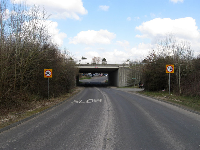
Image: © Simon Carey Taken: 2 Apr 2013
The minor road that links Ashington to Wiston. This is the new link to the village built in the 1990s when the bypass, which it goes under, was constructed.
Images are licensed for reuse under creativecommons.org/licenses/by-sa/2.0
Image Location
Latitude
50.92821
Longitude
-0.390199