Cleared colliery sidings
Introduction
The photograph on this page of Cleared colliery sidings by Jonathan Wilkins as part of the Geograph project.
The Geograph project started in 2005 with the aim of publishing, organising and preserving representative images for every square kilometre of Great Britain, Ireland and the Isle of Man.

There are currently over 7.5m images from over 14,400 individuals and you can help contribute to the project by visiting https://www.geograph.org.uk
Cleared colliery sidings
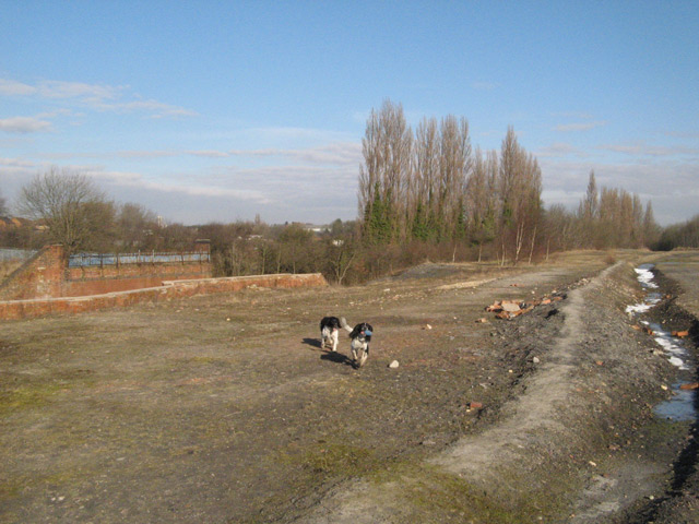
Image: © Jonathan Wilkins Taken: 31 Mar 2013
The western end of the stocking area, where coal was held in trains before despatch. The railway bridge (left of image) which crossed over Lord's Head Lane to the pit head has been demolished, unlike the former Dearne Valley Railway bridge which survives as part of the cycle route. The bridge also carried the sharply-curved connection to the LNER line to Mexborough.
Images are licensed for reuse under creativecommons.org/licenses/by-sa/2.0
Image Location
Latitude
53.487844
Longitude
-1.176484