Blakenhall Gardens regeneration in Wolverhampton
Introduction
The photograph on this page of Blakenhall Gardens regeneration in Wolverhampton by Roger D Kidd as part of the Geograph project.
The Geograph project started in 2005 with the aim of publishing, organising and preserving representative images for every square kilometre of Great Britain, Ireland and the Isle of Man.

There are currently over 7.5m images from over 14,400 individuals and you can help contribute to the project by visiting https://www.geograph.org.uk
Blakenhall Gardens regeneration in Wolverhampton
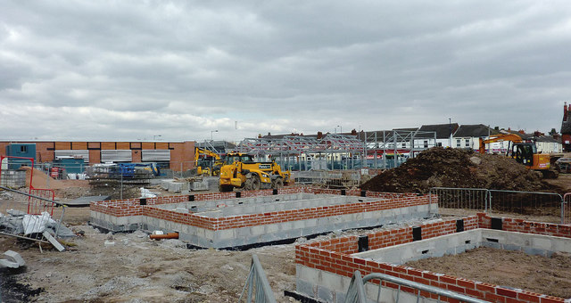
Image: © Roger D Kidd Taken: 5 Apr 2013
Progress is rapid in this development. Looking towards Dudley Road, housing and the retail section are see here from just off Chapel Street.
Images are licensed for reuse under creativecommons.org/licenses/by-sa/2.0
Image Location
Latitude
52.571834
Longitude
-2.126258