Recreation Ground, Mortimer Hill, Tring
Introduction
The photograph on this page of Recreation Ground, Mortimer Hill, Tring by Rob Farrow as part of the Geograph project.
The Geograph project started in 2005 with the aim of publishing, organising and preserving representative images for every square kilometre of Great Britain, Ireland and the Isle of Man.

There are currently over 7.5m images from over 14,400 individuals and you can help contribute to the project by visiting https://www.geograph.org.uk
Recreation Ground, Mortimer Hill, Tring
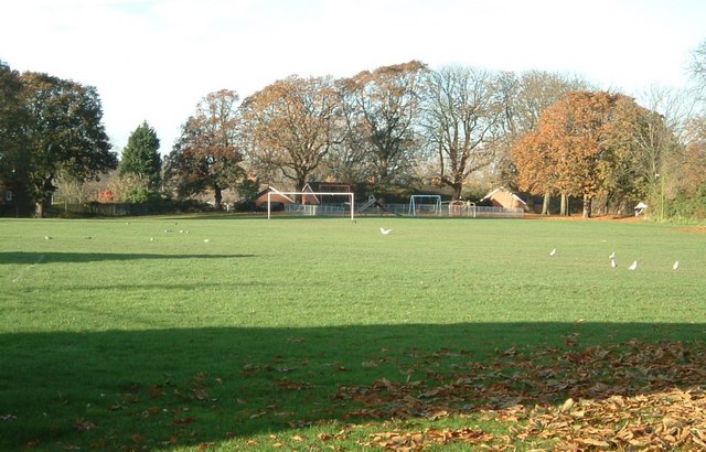
Image: © Rob Farrow Taken: 19 Nov 2005
This recreation ground, popular with weekend football players, is sandwiched between allotments (to the left) and Tring School (to the right). Cf. Image] taken over 12 years later - in somewhat less sunny weather.
Images are licensed for reuse under creativecommons.org/licenses/by-sa/2.0
Image Location
Latitude
51.79762
Longitude
-0.656715