Disused Nursery
Introduction
The photograph on this page of Disused Nursery by Simon Carey as part of the Geograph project.
The Geograph project started in 2005 with the aim of publishing, organising and preserving representative images for every square kilometre of Great Britain, Ireland and the Isle of Man.

There are currently over 7.5m images from over 14,400 individuals and you can help contribute to the project by visiting https://www.geograph.org.uk
Disused Nursery
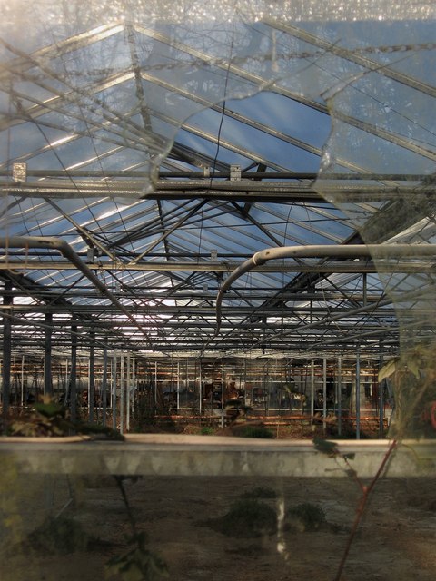
Image: © Simon Carey Taken: 2 Apr 2013
Viewed through a broken pane in one of the glasshouses from the footpath that links Foster Lane to Rectory Lane. The nursery seems to have closed for a while so in all probability it will be developed into a small housing estate sometime in the future.
Images are licensed for reuse under creativecommons.org/licenses/by-sa/2.0
Image Location
Latitude
50.934526
Longitude
-0.398235