New Pond
Introduction
The photograph on this page of New Pond by Simon Carey as part of the Geograph project.
The Geograph project started in 2005 with the aim of publishing, organising and preserving representative images for every square kilometre of Great Britain, Ireland and the Isle of Man.

There are currently over 7.5m images from over 14,400 individuals and you can help contribute to the project by visiting https://www.geograph.org.uk
New Pond
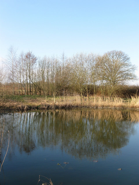
Image: © Simon Carey Taken: 2 Apr 2013
Next to the footpath that runs between Foster Lane and Rectory Lane built as a small open space for the locals in the newly built nearby estates. According to Ashington's 1847 tithe map this was once a small field called Hog Plat.
Images are licensed for reuse under creativecommons.org/licenses/by-sa/2.0
Image Location
Latitude
50.93335
Longitude
-0.397706