West Moors
Introduction
The photograph on this page of West Moors by Nigel Mykura as part of the Geograph project.
The Geograph project started in 2005 with the aim of publishing, organising and preserving representative images for every square kilometre of Great Britain, Ireland and the Isle of Man.

There are currently over 7.5m images from over 14,400 individuals and you can help contribute to the project by visiting https://www.geograph.org.uk
West Moors
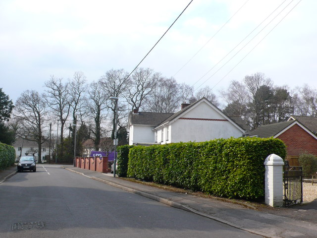
Image: © Nigel Mykura Taken: 28 Mar 2013
This is Denewood road on the northern side of the village, consisting mainly of detached houses. Along with Ferndown it is the northernmost extent of the Bournemouth Conurbation.
Images are licensed for reuse under creativecommons.org/licenses/by-sa/2.0
Image Location
Latitude
50.831521
Longitude
-1.888625