West Bridgford Methodist Church
Introduction
The photograph on this page of West Bridgford Methodist Church by Roger Templeman as part of the Geograph project.
The Geograph project started in 2005 with the aim of publishing, organising and preserving representative images for every square kilometre of Great Britain, Ireland and the Isle of Man.

There are currently over 7.5m images from over 14,400 individuals and you can help contribute to the project by visiting https://www.geograph.org.uk
West Bridgford Methodist Church
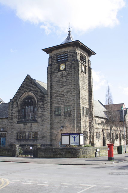
Image: © Roger Templeman Taken: 3 Apr 2013
This is the view across Musters Road. The vane on top of the small spire is an Ordnance Survey intersected station trig point, http://www.trigpointinguk.com/trigs/trig-details.php?t=11459
Images are licensed for reuse under creativecommons.org/licenses/by-sa/2.0
Image Location
Latitude
52.932815
Longitude
-1.132603