Rock Road
Introduction
The photograph on this page of Rock Road by Simon Carey as part of the Geograph project.
The Geograph project started in 2005 with the aim of publishing, organising and preserving representative images for every square kilometre of Great Britain, Ireland and the Isle of Man.

There are currently over 7.5m images from over 14,400 individuals and you can help contribute to the project by visiting https://www.geograph.org.uk
Rock Road
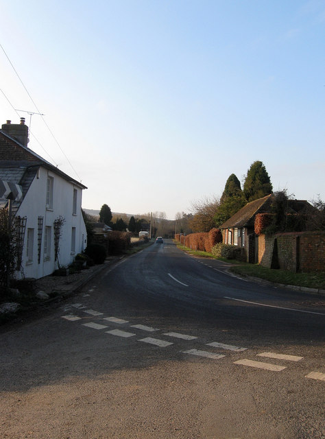
Image: © Simon Carey Taken: 2 Apr 2013
A minor road that runs from the A24 to the B2139 near Storrington. At this point the road turns west at the junction with Mutton's Lane. The building on the right is The Old Nursery Office whilst to the left are two cottages, Stone Cottage and Nursery Cottage respectively. An old nursery operated to the immediate south of Rock Road as it ran west on the old Heath Common from the Victorian period up to the 1960s.
Images are licensed for reuse under creativecommons.org/licenses/by-sa/2.0
Image Location
Latitude
50.921389
Longitude
-0.410922