Great Town Field/Town Field/High Park/Mitchbourne Field
Introduction
The photograph on this page of Great Town Field/Town Field/High Park/Mitchbourne Field by Simon Carey as part of the Geograph project.
The Geograph project started in 2005 with the aim of publishing, organising and preserving representative images for every square kilometre of Great Britain, Ireland and the Isle of Man.

There are currently over 7.5m images from over 14,400 individuals and you can help contribute to the project by visiting https://www.geograph.org.uk
Great Town Field/Town Field/High Park/Mitchbourne Field
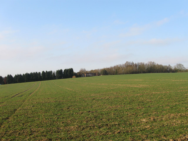
Image: © Simon Carey Taken: 2 Apr 2013
The name of the fields according to Ashington's 1847 tithe map that have been joined together to make a larger unit. Great Town Field ran east to west in the foreground with part of that field lost to Wiston Business park. Beyond on the slope was Town Field which has also lost part of its area to the aforementioned business park. At the far end to the right was High Park which has also lost land in the last thirty years to Springfield, the house in view. Lastly, on the immediate right was Mitchbourne Field
Images are licensed for reuse under creativecommons.org/licenses/by-sa/2.0
Image Location
Latitude
50.923633
Longitude
-0.404016