Legg Four Acres
Introduction
The photograph on this page of Legg Four Acres by Simon Carey as part of the Geograph project.
The Geograph project started in 2005 with the aim of publishing, organising and preserving representative images for every square kilometre of Great Britain, Ireland and the Isle of Man.

There are currently over 7.5m images from over 14,400 individuals and you can help contribute to the project by visiting https://www.geograph.org.uk
Legg Four Acres
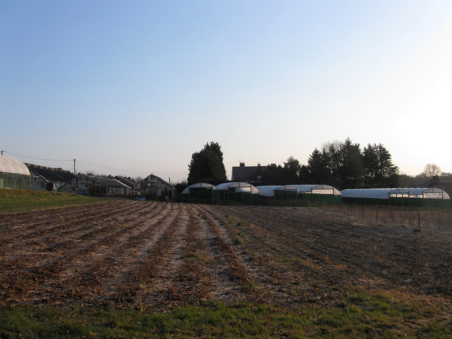
Image: © Simon Carey Taken: 2 Apr 2013
The name of the field according to Washington's 1839 tithe map that is now part of Spring Garden Nurseries whose outbuildings and glasshouses can be seen on the far side of the small field.
Images are licensed for reuse under creativecommons.org/licenses/by-sa/2.0
Image Location
Latitude
50.919772
Longitude
-0.404433