Town Field
Introduction
The photograph on this page of Town Field by Simon Carey as part of the Geograph project.
The Geograph project started in 2005 with the aim of publishing, organising and preserving representative images for every square kilometre of Great Britain, Ireland and the Isle of Man.

There are currently over 7.5m images from over 14,400 individuals and you can help contribute to the project by visiting https://www.geograph.org.uk
Town Field
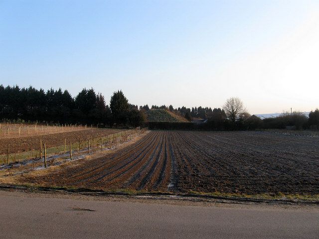
Image: © Simon Carey Taken: 2 Apr 2013
The name of the field according to Ashington's 1847 tithe map that is now a market garden. Part of the eastern end adjacent to the old course of the A24 has also been lost to business units.
Images are licensed for reuse under creativecommons.org/licenses/by-sa/2.0
Image Location
Latitude
50.921113
Longitude
-0.403818