Peters Mead/Great Bridge Field
Introduction
The photograph on this page of Peters Mead/Great Bridge Field by Simon Carey as part of the Geograph project.
The Geograph project started in 2005 with the aim of publishing, organising and preserving representative images for every square kilometre of Great Britain, Ireland and the Isle of Man.

There are currently over 7.5m images from over 14,400 individuals and you can help contribute to the project by visiting https://www.geograph.org.uk
Peters Mead/Great Bridge Field
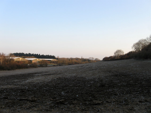
Image: © Simon Carey Taken: 2 Apr 2013
The name of the field according to Ashington's 1847 tithe map which have been joined together to form a larger unit. Peters Mead was in the foreground and Great Bridge Field lay in the distance and currently borders the modern A24. On the far side of that is Wiston Business Estate.
Images are licensed for reuse under creativecommons.org/licenses/by-sa/2.0
Image Location
Latitude
50.920695
Longitude
-0.399564