Ruler Way, Treforest, Pontypridd
Introduction
The photograph on this page of Ruler Way, Treforest, Pontypridd by Jaggery as part of the Geograph project.
The Geograph project started in 2005 with the aim of publishing, organising and preserving representative images for every square kilometre of Great Britain, Ireland and the Isle of Man.

There are currently over 7.5m images from over 14,400 individuals and you can help contribute to the project by visiting https://www.geograph.org.uk
Ruler Way, Treforest, Pontypridd
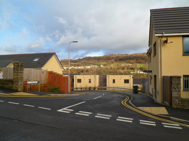
Image: © Jaggery Taken: 12 Jan 2012
Viewed from Princess Street. Ruler Way is a street of recently-built houses on the site formerly occupied by Treforest Primary School for more than a century. http://www.geograph.org.uk/photo/3395980
Images are licensed for reuse under creativecommons.org/licenses/by-sa/2.0
Image Location
Latitude
51.595015
Longitude
-3.32883