Farmland of the Templand Farms and Blairfold Farms
Introduction
The photograph on this page of Farmland of the Templand Farms and Blairfold Farms by Julian Paren as part of the Geograph project.
The Geograph project started in 2005 with the aim of publishing, organising and preserving representative images for every square kilometre of Great Britain, Ireland and the Isle of Man.

There are currently over 7.5m images from over 14,400 individuals and you can help contribute to the project by visiting https://www.geograph.org.uk
Farmland of the Templand Farms and Blairfold Farms
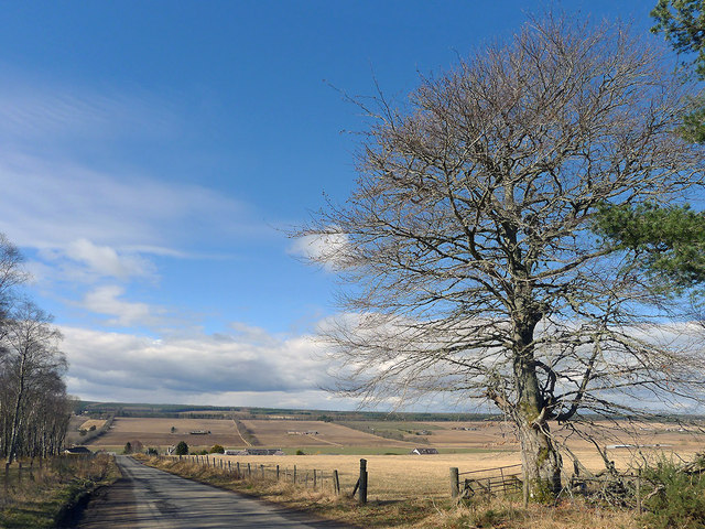
Image: © Julian Paren Taken: 4 Apr 2013
There is a broad valley between Killen and the policies of the Rosehaugh Estate where the farms of Easter and Wester Templand, Mid Blairfold and Easter Blairfold are located. Beyond them is the expanse of forestry plantation that forms the backbone of the Black Isle. The road here links Fortrose and Avoch with Killen.
Images are licensed for reuse under creativecommons.org/licenses/by-sa/2.0
Image Location
Latitude
57.584598
Longitude
-4.188059