St John's
Introduction
The photograph on this page of St John's by Gordon Griffiths as part of the Geograph project.
The Geograph project started in 2005 with the aim of publishing, organising and preserving representative images for every square kilometre of Great Britain, Ireland and the Isle of Man.

There are currently over 7.5m images from over 14,400 individuals and you can help contribute to the project by visiting https://www.geograph.org.uk
St John's
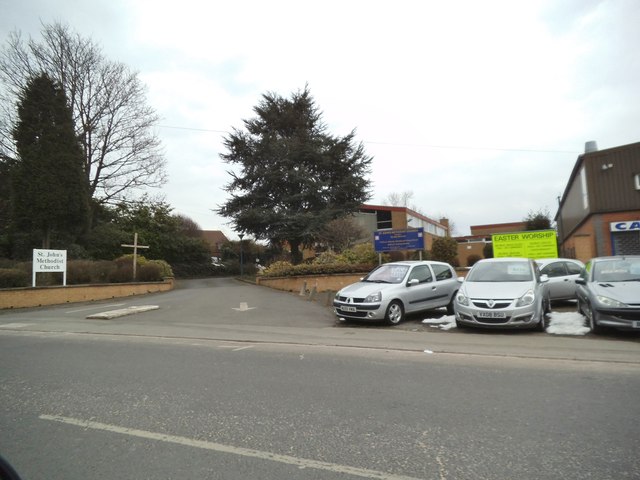
Image: © Gordon Griffiths Taken: 1 Apr 2013
The view of the Methodist Church which opened in 1962 and stands on Wolverhampton Road East.
Images are licensed for reuse under creativecommons.org/licenses/by-sa/2.0
Image Location
Latitude
52.566086
Longitude
-2.121521