St Paul's Church, The Hackett near Thornbury
Introduction
The photograph on this page of St Paul's Church, The Hackett near Thornbury by Jaggery as part of the Geograph project.
The Geograph project started in 2005 with the aim of publishing, organising and preserving representative images for every square kilometre of Great Britain, Ireland and the Isle of Man.

There are currently over 7.5m images from over 14,400 individuals and you can help contribute to the project by visiting https://www.geograph.org.uk
St Paul's Church, The Hackett near Thornbury
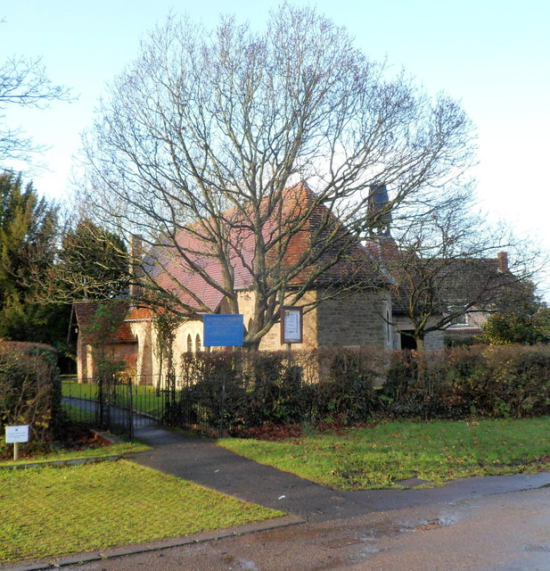
Image: © Jaggery Taken: 2 Jan 2012
The Church of England church is in the parish of St Mary the Virgin, Thornbury. Viewed from the junction of Hackett Lane and Clay Lane in a semi-rural location east of Thornbury.
Images are licensed for reuse under creativecommons.org/licenses/by-sa/2.0
Image Location
Latitude
51.60884
Longitude
-2.501475