Bramley Cottage, Hole Street
Introduction
The photograph on this page of Bramley Cottage, Hole Street by Simon Carey as part of the Geograph project.
The Geograph project started in 2005 with the aim of publishing, organising and preserving representative images for every square kilometre of Great Britain, Ireland and the Isle of Man.

There are currently over 7.5m images from over 14,400 individuals and you can help contribute to the project by visiting https://www.geograph.org.uk
Bramley Cottage, Hole Street
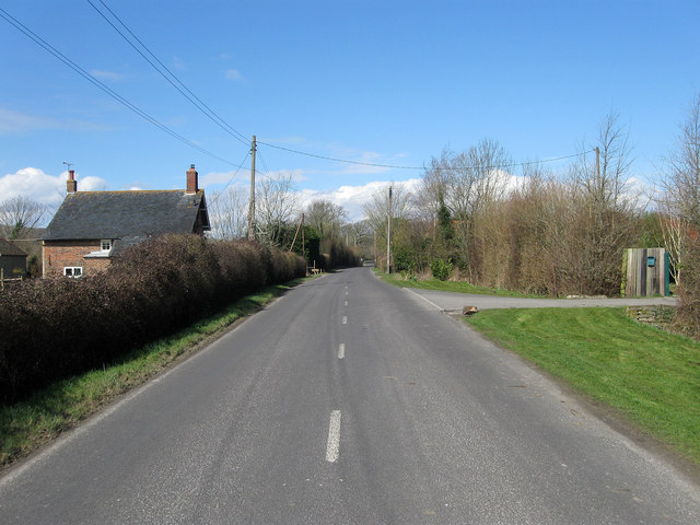
Image: © Simon Carey Taken: 31 Mar 2013
The current building dates back to at least the 19th century and may be a rebuild of something older. The road is also called Hole Street and connects Wiston to Ashington.
Images are licensed for reuse under creativecommons.org/licenses/by-sa/2.0
Image Location
Latitude
50.921299
Longitude
-0.378201