End of the Greenway, Beckton
Introduction
The photograph on this page of End of the Greenway, Beckton by David Anstiss as part of the Geograph project.
The Geograph project started in 2005 with the aim of publishing, organising and preserving representative images for every square kilometre of Great Britain, Ireland and the Isle of Man.

There are currently over 7.5m images from over 14,400 individuals and you can help contribute to the project by visiting https://www.geograph.org.uk
End of the Greenway, Beckton
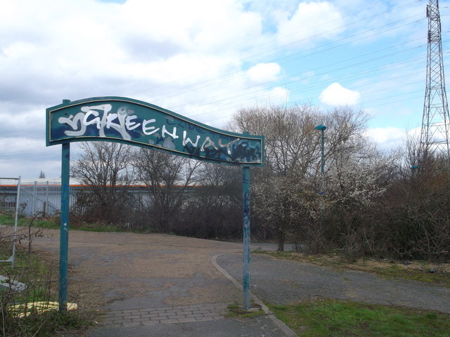
Image: © David Anstiss Taken: 31 Mar 2013
The Greenway is a combined cyclepath and footpath (on the Northern Outfall Sewer) leading from Royal Docks Road heading left towards Stratford. A local cyclepath leads parallel to Royal Docks Road towards Gateway Retail Park.
Images are licensed for reuse under creativecommons.org/licenses/by-sa/2.0
Image Location
Latitude
51.518962
Longitude
0.072327