Path from Burnfarm towards the Rosehaugh Estate
Introduction
The photograph on this page of Path from Burnfarm towards the Rosehaugh Estate by Julian Paren as part of the Geograph project.
The Geograph project started in 2005 with the aim of publishing, organising and preserving representative images for every square kilometre of Great Britain, Ireland and the Isle of Man.

There are currently over 7.5m images from over 14,400 individuals and you can help contribute to the project by visiting https://www.geograph.org.uk
Path from Burnfarm towards the Rosehaugh Estate
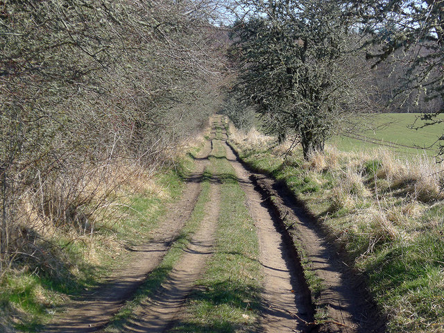
Image: © Julian Paren Taken: 1 Apr 2013
After the public road ends and the private road has led off to Rhivendell, a delightful footpath makes straight for the woodland of the Rosehaugh Estate.
Images are licensed for reuse under creativecommons.org/licenses/by-sa/2.0
Image Location


Leaflet Map data © OpenStreetMap
Latitude
57.579762
Longitude
-4.218045