Terrace of houses in the Square, Upper Cwmbran
Introduction
The photograph on this page of Terrace of houses in the Square, Upper Cwmbran by Ruth Sharville as part of the Geograph project.
The Geograph project started in 2005 with the aim of publishing, organising and preserving representative images for every square kilometre of Great Britain, Ireland and the Isle of Man.

There are currently over 7.5m images from over 14,400 individuals and you can help contribute to the project by visiting https://www.geograph.org.uk
Terrace of houses in the Square, Upper Cwmbran
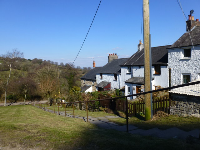
Image: © Ruth Sharville Taken: 2 Apr 2013
This is an area full of disused mines and quarries, explaining the presence of terraces such as this.
Images are licensed for reuse under creativecommons.org/licenses/by-sa/2.0
Image Location
Latitude
51.664796
Longitude
-3.053691