The Red Lion
Introduction
The photograph on this page of The Red Lion by Simon Carey as part of the Geograph project.
The Geograph project started in 2005 with the aim of publishing, organising and preserving representative images for every square kilometre of Great Britain, Ireland and the Isle of Man.

There are currently over 7.5m images from over 14,400 individuals and you can help contribute to the project by visiting https://www.geograph.org.uk
The Red Lion
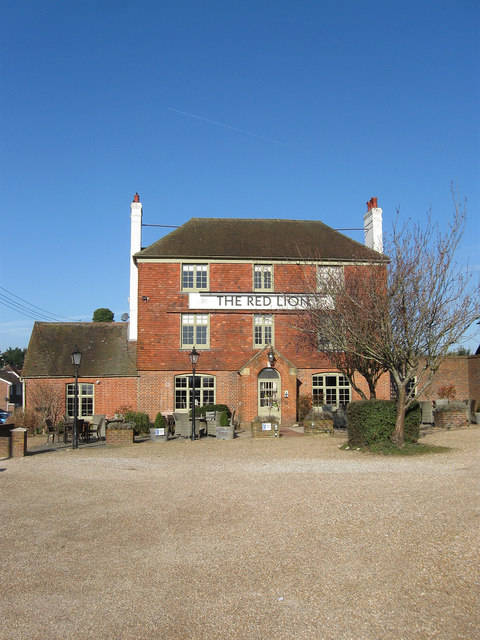
Image: © Simon Carey Taken: 31 Mar 2013
Originally built towards the end of the 18th century on an isolated pocket of land on Ashington Common. When the latter was enclosed in 1816 it faced out onto the newly marked out and turnpiked London Road whereupon it became an important stopping point for coaches. Its former stables, out of shot to the right, are now an extension to the inn.
Images are licensed for reuse under creativecommons.org/licenses/by-sa/2.0
Image Location
Latitude
50.929486
Longitude
-0.391435