Halls, St Donard's church, Belfast (2)
Introduction
The photograph on this page of Halls, St Donard's church, Belfast (2) by Albert Bridge as part of the Geograph project.
The Geograph project started in 2005 with the aim of publishing, organising and preserving representative images for every square kilometre of Great Britain, Ireland and the Isle of Man.

There are currently over 7.5m images from over 14,400 individuals and you can help contribute to the project by visiting https://www.geograph.org.uk
Halls, St Donard's church, Belfast (2)
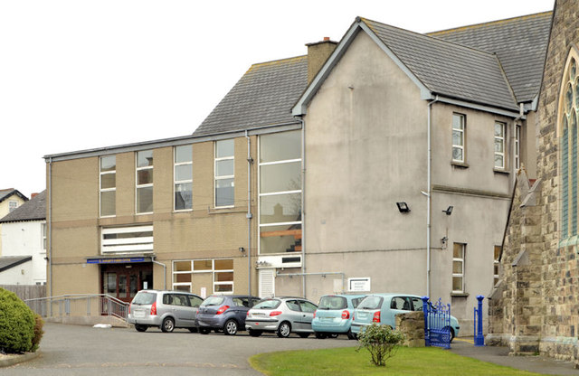
Image: © Albert Bridge Taken: 1 Apr 2013
See Image The existing church hall. This photograph appears as a matter of geographical and historical record only and does make any comment, for or against, the application referred to in the previous photograph. The church Image is on the right. The view is from the Beersbridge Road. Continue to Image
Images are licensed for reuse under creativecommons.org/licenses/by-sa/2.0
Image Location
Latitude
54.59341
Longitude
-5.885709