A346 enters Ogbourne St Andrew
Introduction
The photograph on this page of A346 enters Ogbourne St Andrew by Stuart Logan as part of the Geograph project.
The Geograph project started in 2005 with the aim of publishing, organising and preserving representative images for every square kilometre of Great Britain, Ireland and the Isle of Man.

There are currently over 7.5m images from over 14,400 individuals and you can help contribute to the project by visiting https://www.geograph.org.uk
A346 enters Ogbourne St Andrew
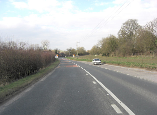
Image: © Stuart Logan Taken: 29 Mar 2013
The tiny River Og lends its name to a group of villages hereabouts 'The Ogbournes' and has carved its way through the chalk downs, creating a gap for this 'A' road to follow. Ogbourne means Occa's stream.
Images are licensed for reuse under creativecommons.org/licenses/by-sa/2.0
Image Location


Leaflet Map data © OpenStreetMap
Latitude
51.443264
Longitude
-1.731321