Lime pollards in Lockeridge
Introduction
The photograph on this page of Lime pollards in Lockeridge by Stuart Logan as part of the Geograph project.
The Geograph project started in 2005 with the aim of publishing, organising and preserving representative images for every square kilometre of Great Britain, Ireland and the Isle of Man.

There are currently over 7.5m images from over 14,400 individuals and you can help contribute to the project by visiting https://www.geograph.org.uk
Lime pollards in Lockeridge
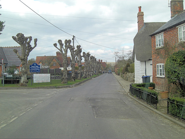
Image: © Stuart Logan Taken: 29 Mar 2013
Although these pollarded trees will furnish themselves with a cloak of fresh green epicormic growth in the spring, I dislike their winter appearance.
Images are licensed for reuse under creativecommons.org/licenses/by-sa/2.0
Image Location


Leaflet Map data © OpenStreetMap
Latitude
51.409573
Longitude
-1.78903