Ashby de la Launde Village Hall
Introduction
The photograph on this page of Ashby de la Launde Village Hall by Mike Pennington as part of the Geograph project.
The Geograph project started in 2005 with the aim of publishing, organising and preserving representative images for every square kilometre of Great Britain, Ireland and the Isle of Man.

There are currently over 7.5m images from over 14,400 individuals and you can help contribute to the project by visiting https://www.geograph.org.uk
Ashby de la Launde Village Hall
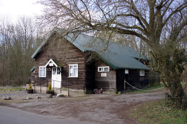
Image: © Mike Pennington Taken: 31 Mar 2013
Wooden building in Church Avenue.
Images are licensed for reuse under creativecommons.org/licenses/by-sa/2.0
Image Location
Latitude
53.081451
Longitude
-0.426441