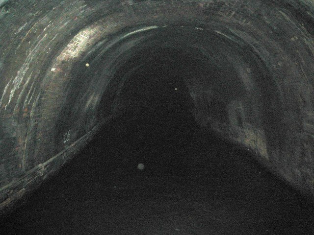
Grand Union Canal: Braunston Tunnel: The infamous S-bend!
Introduction
The photograph on this page of Grand Union Canal: Braunston Tunnel: The infamous S-bend! by Nigel Cox as part of the Geograph project.
The Geograph project started in 2005 with the aim of publishing, organising and preserving representative images for every square kilometre of Great Britain, Ireland and the Isle of Man.
There are currently over 7.5m images from over 14,400 individuals and you can help contribute to the project by visiting https://www.geograph.org.uk

Image: © Nigel Cox Taken: 13 Sep 2012
This is the point in the tunnel where the excavated bores from either end did not quite meet one another in the middle, creating the infamous S-bend. But, hey, this was 1790's surveying setting out, so they were probably grateful that they did not miss one another entirely, as they would have still been excavating today... Anyway this bend can be a problem if two long narrowboats meet one another at it. The location co-ordinates are somewhat crude and estimated from the times of the camera exposures at Image and Image, two minutes after the former and eight before the latter. So if you are a boater going at a steady cruising pace the S-bend is about eight minutes into the tunnel from the eastern end...! Image is visible as the speck of light in the distance.
Image Location


